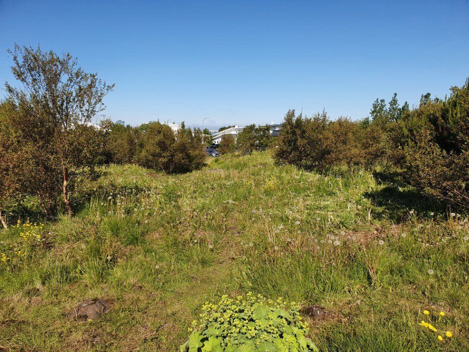
Laugarás preserves striking traces of Iceland’s glacial past. The exposed bedrock bears scratches and grooves carved by moving ice, while other geological features mark former sea levels at the end of the Ice Age.
The Laugarás Natural Monument is located at the top of Laugarásholt in the Langholt neighbourhood of Reykjavík. Despite being surrounded by residential streets and homes, the protected area encompasses the highest point of Laugaráshæð, at almost 50 metres above sea level, where its most notable geological features can be found.
A car park is located at the southern edge of the protected area on Vesturbrún. A walking path leads from the car park to the highest point, with an interpretation panel along the way. Several smaller informal paths have also developed across the area, most of them leading towards the summit. At the top stands a concrete pillar marking a survey point established by the National Land Survey of Iceland.
From the summit, there are sweeping views in every direction, across Reykjavík, the surrounding straits and towards the mountains beyond.
Interpretation
Protection Status
Laugarás was designated a natural monument in 1982 by Notice No. 41/1982, published in Section B of the Icelandic Law Gazette. Natural monuments are protected natural features considered important because of their scientific value, beauty or distinctive character.
The purpose of the designation is to protect the rare geological features of Laugarás while keeping them accessible for visitors to experience and explore.