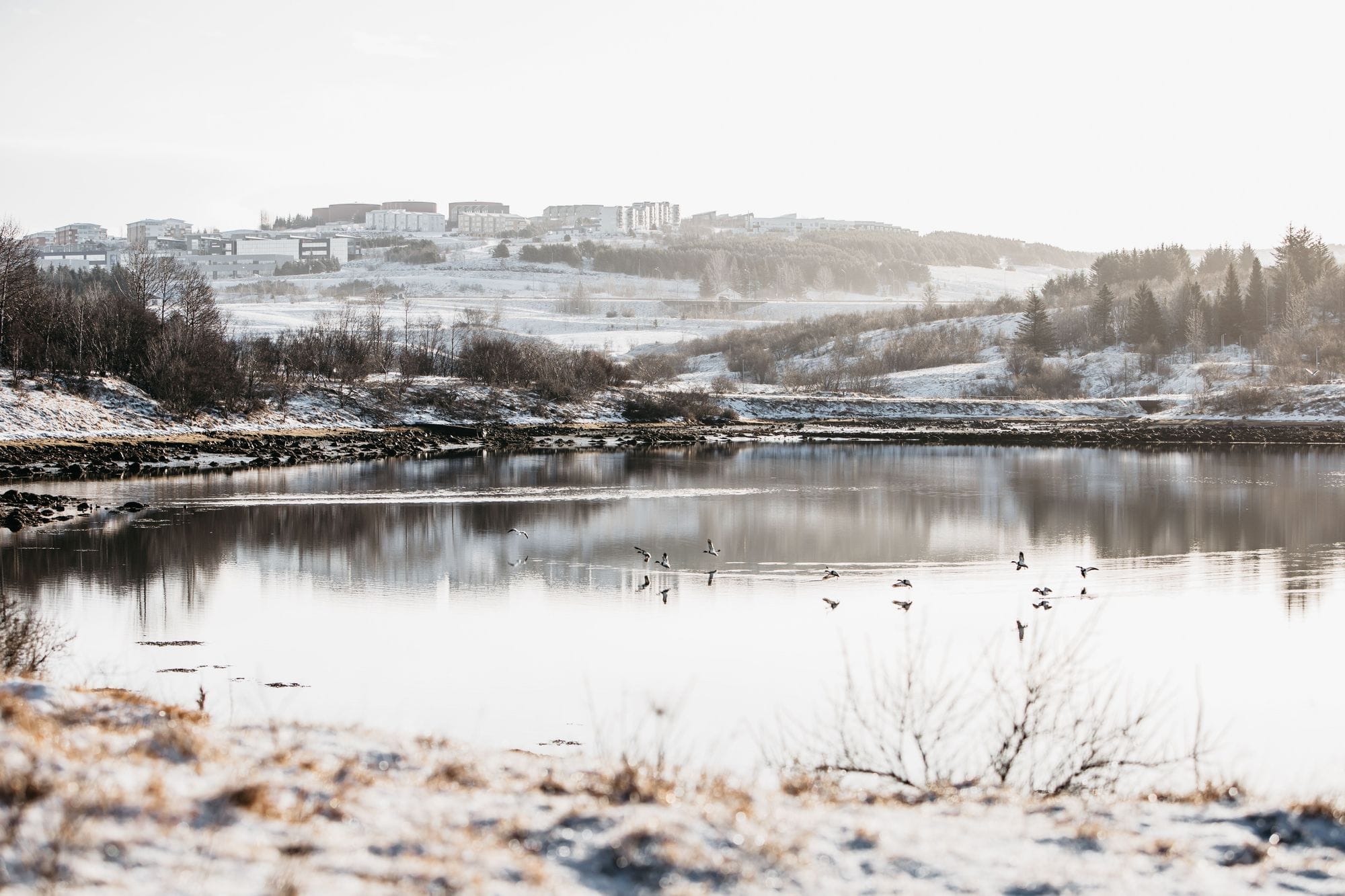
Grafarvogur as a whole is classified as a mudflat lagoon, characterised by extensive mudflats that largely dry out at low tide. Such environments are typically marked by significant tidal fluctuations and shallow waters. However, shallow river channels and tidal creeks remain filled with freshwater during low tide, before filling with seawater again at high tide. This pattern can be observed in Grafarvogur, where Grafarlækur flows into the eastern end of the bay, together with an unnamed stream in the southeastern part of the inlet. At high tide, the river channels remain clearly visible extending far westward across the bay.
Information
Protection Status
Grafarvogur was designated a nature reserve on 4 March 2026.
The purpose of the protection designation is to preserve and maintain the natural condition of the area’s vegetation, important bird habitats, marine invertebrate communities, and biological diversity, allowing these ecosystems to develop naturally and according to their own ecological processes.
The designation also aims to strengthen the area’s value for recreation, research, and environmental education.