Access and Information
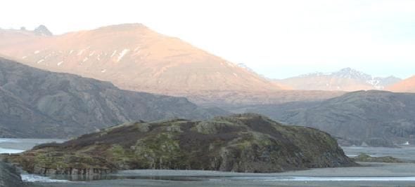
The rocky outcrop of Díma marks the boundary between the farms of Stafafell and Þórisdalur. Its northern side forms a sheer cliff, where the Jökulsá í Lóni River flows today. The western, southern, and eastern slopes are also steep, and the only practical route to the summit is from the southwest, via the flood embankment that connects Díma with Dalsfjall.
Protection Status
Díma in Lón was designated a natural monument in 1975 and was subsequently fenced to protect the site. The protected area covers approximately 6.4 hectares.