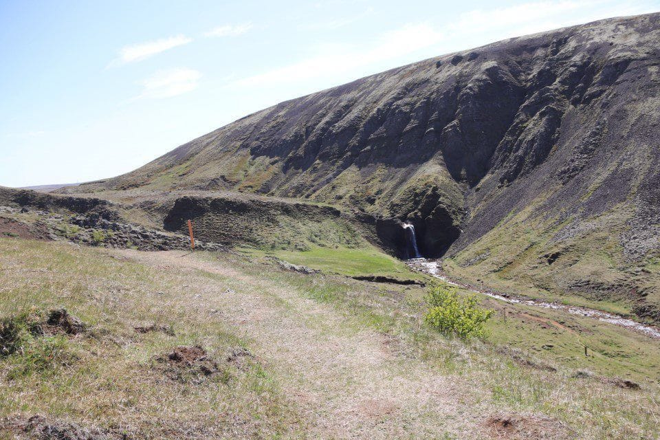
The boundary of the country park begins on the northern bank of the Köldukvísl river, approximately 250 metres upstream from Helgufoss waterfall (coordinate point no. 22). From there, it extends 330 metres northwards, following the boundary of the water protection area east of the old home field at Bringur, to a point approximately 250 metres south of Nesjavallalínuvegur road. The boundary then continues 380 metres northwest to the start of a walking trail leading from the car park into the area. From there, it extends 370 metres southwest until it reaches a point level with the lower boundary of the home field (coordinate point no. 2). It then continues 125 metres south to the Köldukvísl river and follows the centre of the river back to the starting point.
Interesting Facts
The farm at Bringur was established in 1856 as a new farm on land belonging to the Mosfell parsonage. The farm was abandoned in 1966, but numerous remains of human settlement can still be found around the farmstead and its home field.Bringur lies north of the Köldukvísl river and offers extensive views across Mosfellsdalur valley and all the way to the sea. On the opposite side of the river, outside the country park, rises Grímansfell, the highest mountain in Mosfellsbær. Helgufoss waterfall is located nearby, where the Köldukvísl river flows close to the old field boundary.
West of the waterfall are Helguhvammur, the ruins of Helgusel and Helguhóll, also known as Hrafnaklettur. According to folklore, the area is home to a large community of hidden people. The ruins at Helgusel are a reminder of a long vanished way of farming, when livestock were kept at seasonal pastoral sites during the summer months.
According to folklore, Helgusel was named after Helga, daughter of Bárður Snæfellsás. Another explanation is that the land once belonged to the church estate at Mosfell, in which case the name may originally have meant “the holy seasonal farmstead”.
A short distance from the lower edge of the home field at Bringur, remains of an old public route known as Bringnavegur can still be seen. The road was built in 1910 and connected Mosfellsdalur with the old Þingvellir road, which crossed Mosfellsheiði to Þingvellir.