Access and information
Álftaversgígar is located near the settlement of Álftaver, east of Mýrdalssandur. To reach the craters, turn south from Route 1 just east of the bridge over the Skálm river. There is a parking area by the road, and visitors can walk to the top of one of the craters for views across the surrounding landscape.
Park rangers from the western region of Vatnajökull National Park patrol the area.
Interpretation
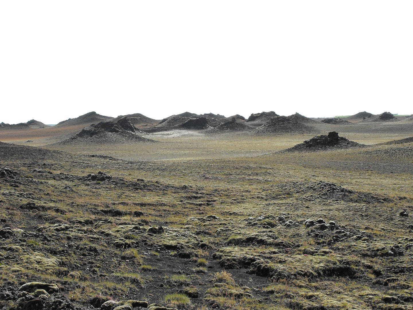
Álftaversgígar formed during the Eldgjá eruption of 937 to 940, when lava flowed over wetlands. The Eldgjá lava travelled around 70 km towards the coast in several separate flows. The largest of these are known as Álftavershraun, Meðallandshraun and Landbrotshraun.
Pseudocraters resemble volcanic craters but have no volcanic vent and typically occur in clusters. They form when lava flows over shallow water or wetlands. The intense heat of the lava causes the water beneath it to boil rapidly, resulting in powerful steam explosions. The surface of the pseudocraters is therefore made up of thick layers of volcanic scoria.
The settlement at Álftaver is thought to have been devastated during the Eldgjá eruption by glacial floods and lava flows. Since their formation, however, the pseudocraters have provided the settlement with considerable protection from glacial outburst floods originating from Katla.
Protection Status
Álftaversgígar was designated a natural monument in 1975. The protected area covers 3,436.1 hectares. The purpose of the designation is to protect the area’s distinctive geological formations.